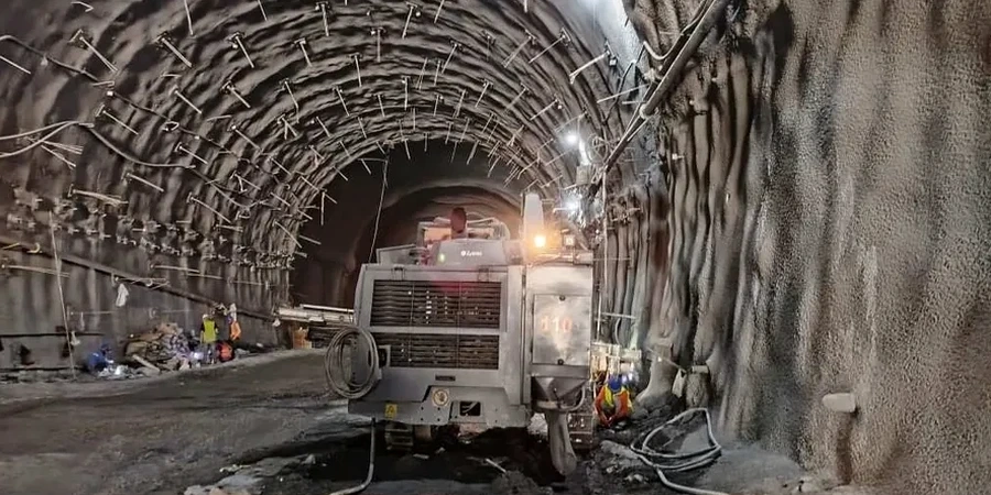
Los Angeles grew outward and upward through a century of boom cycles, but the geology underneath never changed. The basin holds alternating layers of stiff Pleistocene alluvium, softer Holocene deposits, and pockets of the Fernando Formation, often sitting above a deep groundwater table that fluctuates with imported water recharge. When an excavation cuts through that layered profile, the behavior of the cut face changes by the hour. Shoring designed for one set of assumptions can see loads shift as the marine clay lenses swell or the sandy units drain. Our team runs geotechnical excavation monitoring programs that tie design assumptions to field reality, tracking lateral deformation at the soldier pile tip and pore pressure in the saturated lower benches. In downtown and along the Wilshire corridor, where tower cranes swing over adjacent historic structures, we combine deep excavation instrumentation with automated total station arrays to catch movement before it becomes a claim.
Monitoring data from an LA excavation isn't just a compliance checkbox — it's the only reliable way to confirm that the shoring design assumptions are holding up during construction.
Common questions
What triggers an alert during excavation monitoring in Los Angeles?
We set three-tier thresholds based on the project's deformation criteria, typically derived from IBC limits and the structural engineer's tolerance for adjacent buildings. A yellow alert fires when inclinometer drift or settlement reaches 70% of the allowable value, triggering increased reading frequency. A red alert at 90% requires immediate review and possible work stoppage until the cause is understood. In LA basin sites with soft clay layers, we often see yellow alerts during the first 15 feet of cut as the wall loads redistribute.
How much does excavation monitoring cost for a typical LA project?
For a standard monitoring program covering one shoring wall with inclinometers, piezometers, and adjacent building survey points over a 3-4 month excavation period, the budget typically falls between US$820 and US$2,330 per week of active monitoring, depending on the number of instruments and the reporting frequency required by the building department.
Do you monitor during dewatering operations?
Yes, dewatering monitoring is standard in our programs. We track drawdown in real time using vibrating-wire piezometers and correlate the groundwater decline with settlement plate readings on adjacent properties. In the LA basin, where many neighborhoods sit on compressible alluvium, this correlation is critical to prevent off-site damage claims and to comply with the local agency dewatering discharge permits.
What qualifications does your monitoring team hold?
Our field technicians are certified in instrumentation installation per ASTM D6230 practices, and the data interpretation is led by a California-licensed geotechnical engineer. All survey equipment is calibrated to NIST-traceable standards, and our reporting format has been accepted by LA Department of Building and Safety for projects ranging from single-lot basement excavations to multi-block mixed-use developments.